Description
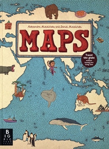
Everything kids need to begin learning about maps and flags of the world. The introduction explains how maps are created and how countries are defined, along with some background information on flags and their use. The rest of the book is laid out by continent, with every country in the world listed, alongside its flag and some key stats, such as population, capital city and area. Bonus quirky maps are dotted throughout, covering topics such as national animals, journeys of exploration, pirate maps and flags, and time zones.
Details
- Author: Fullman, Joe & Rowland, Andy
- Publisher: Michael O'Mara Books Ltd
- Format: Paperback
- Publication Date: 22/05/2025
- ISBN: 9781916763135
- B-Code: B077835
- Illustrated: Colour illustrated
- Pages: 96
- Dimensions: 280x216mm
Size


