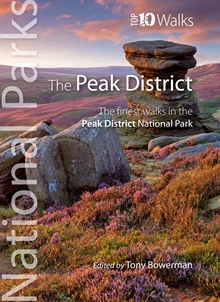
Description
This handy full-colour map provides detailed mapping and visitor information with a selection of photographs, ideal for exploring this beautiful area of England. Map at a scale of 1:120 000 (1cm to 1.20km, 1.9 miles to 1 inch). Includes key park, tourist and travel information; index of places; information on the Pennine Way, Stanage-North Lees, caving activities and other places of interest.
Details
- Author: Collins Maps
- Publisher: HarperCollins Publishers
- Format: Paperback
- Publication Date: 04/03/2021
- ISBN: 9780008439217
- B-Code: B055274
- Illustrated: Colour maps and images
- Pages: 2
- Dimensions: 140x90mm
Size


